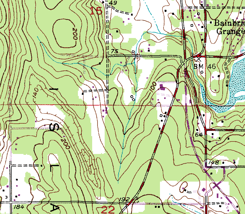
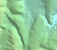
1) Comparison of standard USGS photogrammetrically-derived topography with LIDAR topography. All views are of same 2-km-wide area. Note how photogrammetrically derived topography (A and B) fail to show that drainage from small basin in left-center of map area is into north-flowing creek just to right of center.
A. Primary source: USGS 1:24K contour topography
B. Shaded-relief image from standard 10m DEM derived from 1:24K contour
topography
C. Shaded-relief image from LIDAR DEM of same area
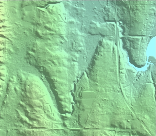
See pugetsoundlidar.org
for more info.