This page contains some images made by Harvey Greenberg for Dave Montgomery.
It is not ready for general release.
Figures for QR paper
Modeling the dam-outburst flood.
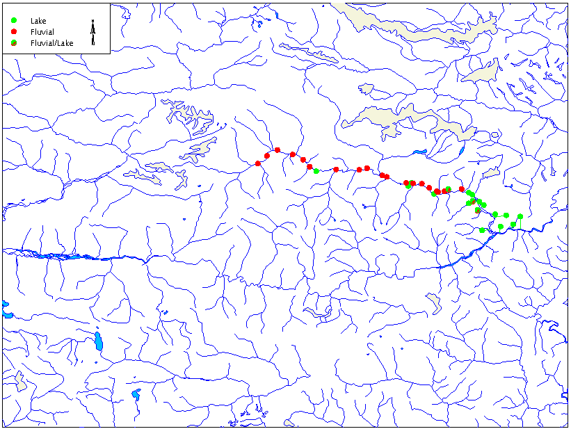
These are the terraces investigated in the 2002
field season on the Nyang River down to the confluence with the Tsang Po.
The base map is the Digital Chart of the World.
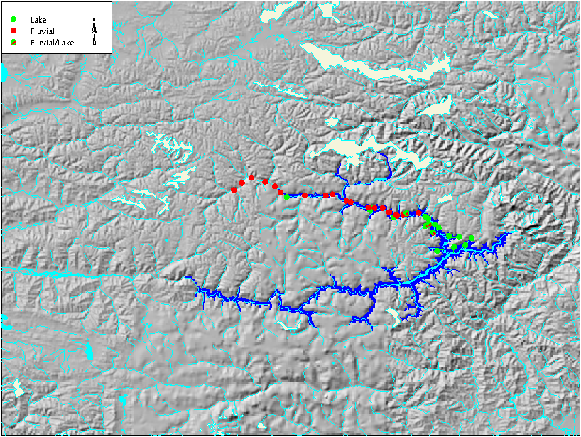
This is the lake that apparently formed when
the Tsang Po was blocked. This is based on the one-km DEM.

This river profile is based on the one-km DEM.
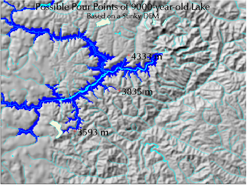
The one-km DEM suggests that there was no alternate
pour point for the glacial lake with a surface elevation of 3529 meters.
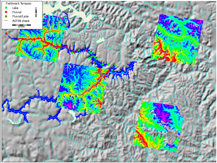
These are our four ASTER DEMs for the area, shown
over the one-km DEM. We have a fifth DEM that lies between the two
on the east side, but we have had trouble georeferencing it.
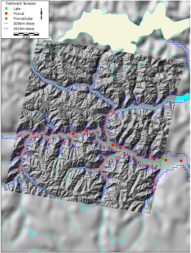
The ASTER DEM of part of the Nyang.
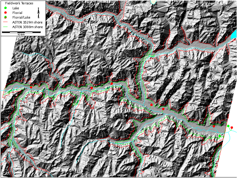
Detail of the same DEM.
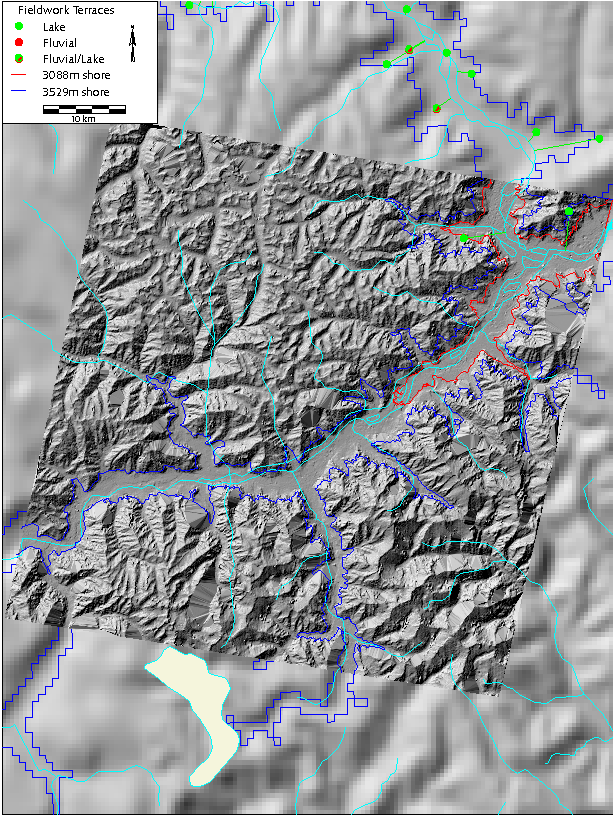
THe ASTER DEM of part of the Tsang Po.
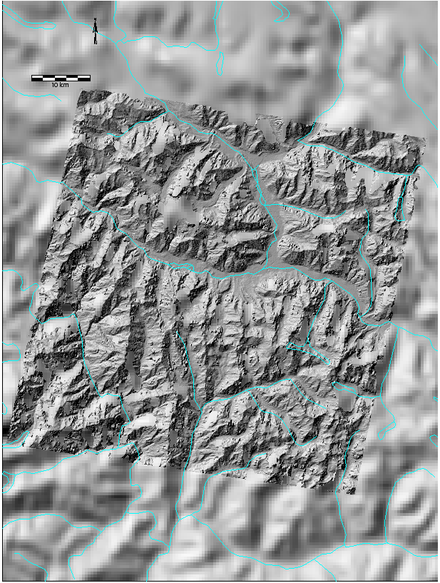
THe ASTER DEM of Namche Barwa. The gorge lies in
the lower left corner of the DEM.
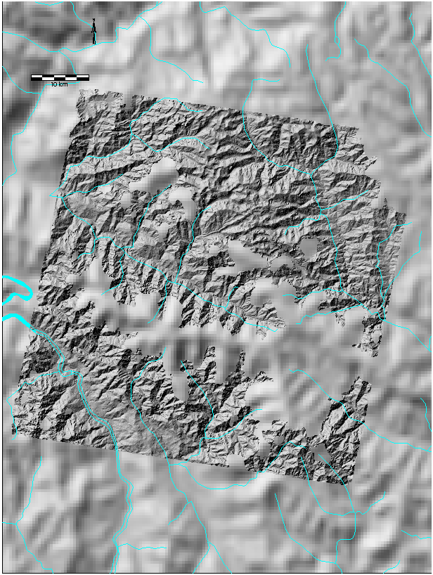
The downstream ASTER DEM. The data gaps (mostly the
result of clouds) in the other DEMs have been filled by linear interpolation,
but the gaps were too large to fill on this image.


