|
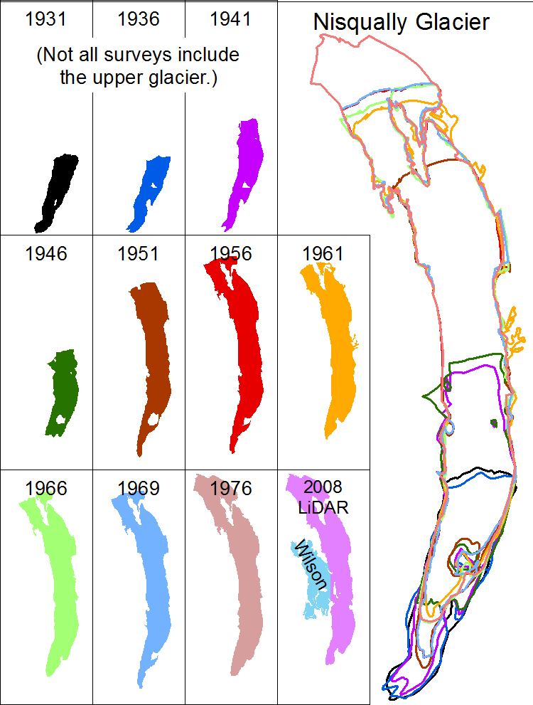
| Glacier bounds were digitized by Harvey Greenberg from the UTM NAD27 scans. You are welcome to second-guess his choices. Download polygon boundaries as shapefiles in UTM NAD27 or (soon) NAD83. |
| Hypsometry (distribution of glacier elevations, based on these polygons) |
1931UTM10 NAD27 WGS84 geographic coordinates | 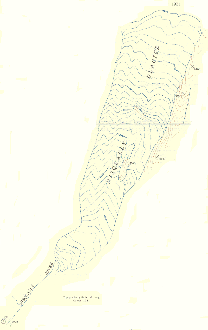 |
1936UTM10 NAD27 WGS84 geographic coordinates | 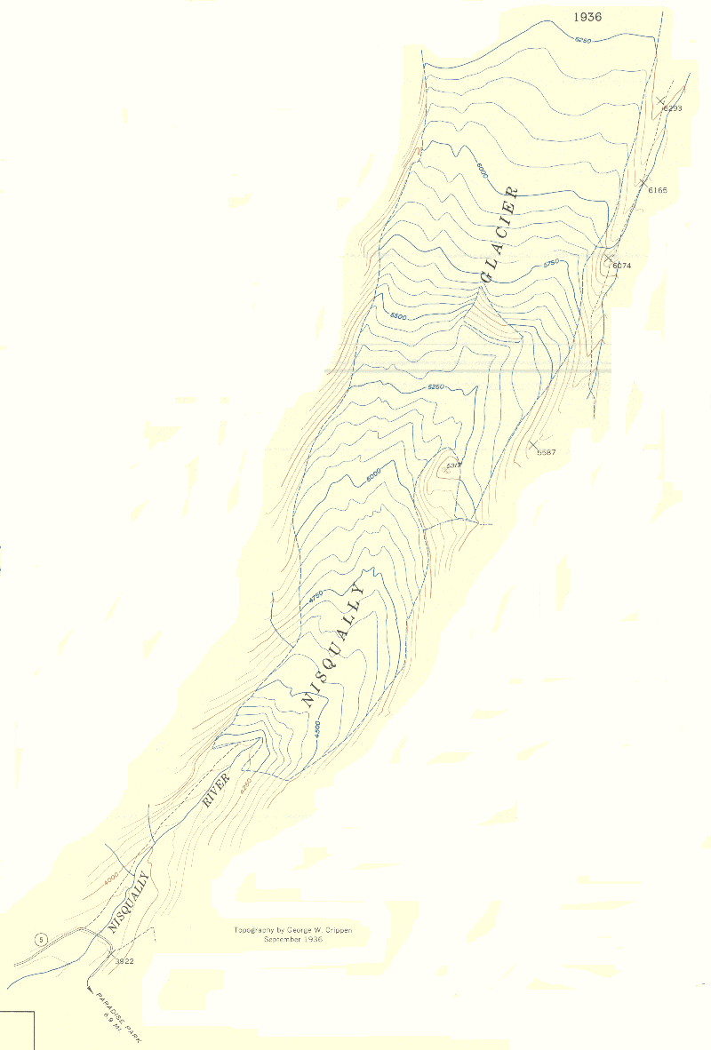 |
1936 (bigger)UTM10 NAD27 WGS84 geographic coordinates | 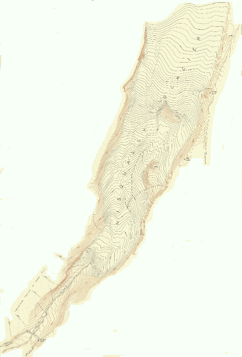 |
1941UTM10 NAD27 WGS84 geographic coordinates | 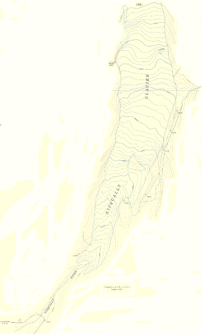 |
1946UTM10 NAD27 WGS84 geographic coordinates | 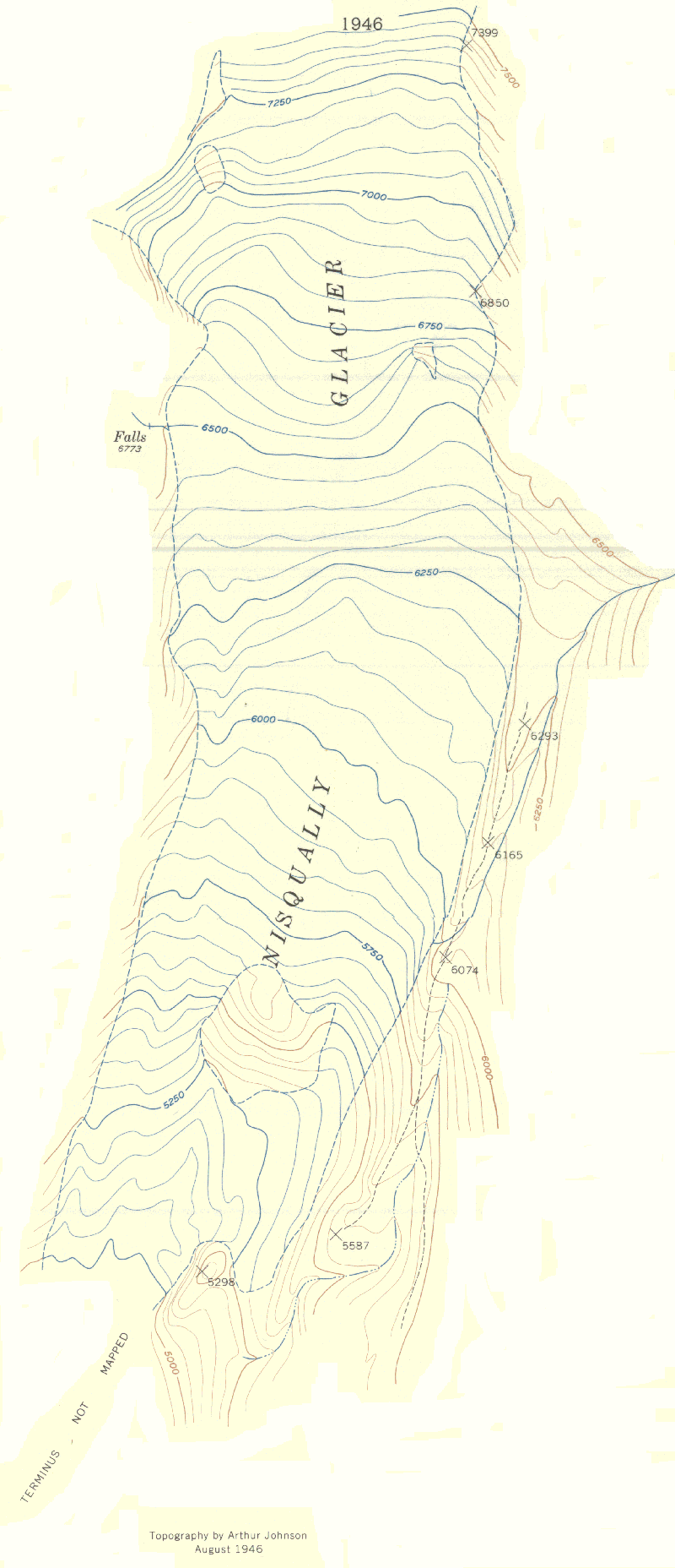 |
1951UTM10 NAD27 WGS84 geographic coordinates | 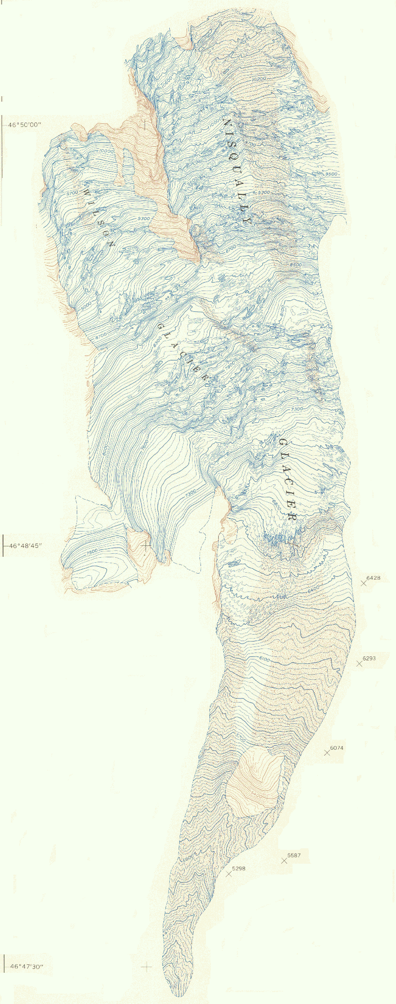 |
1956UTM10 NAD27 WGS84 geographic coordinates | 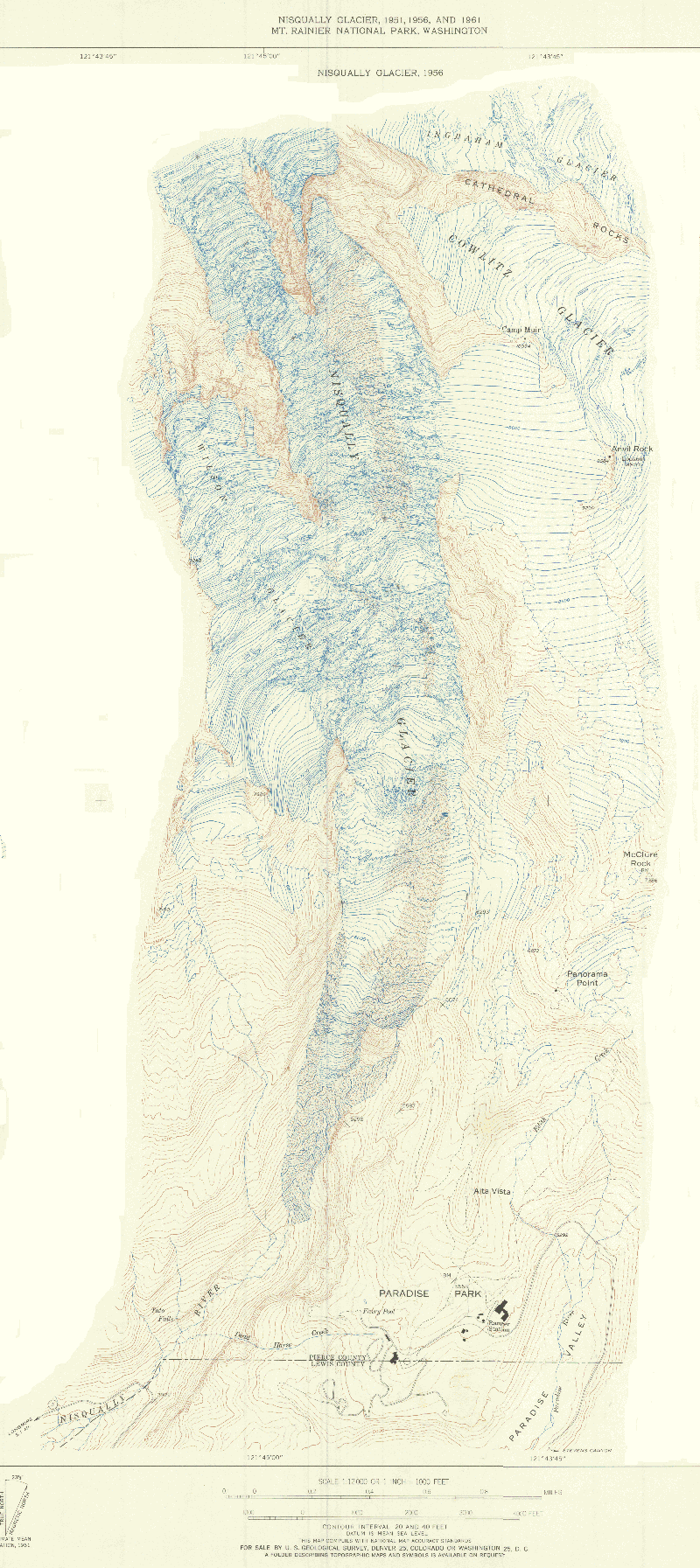 |
1961UTM10 NAD27 WGS84 geographic coordinates | 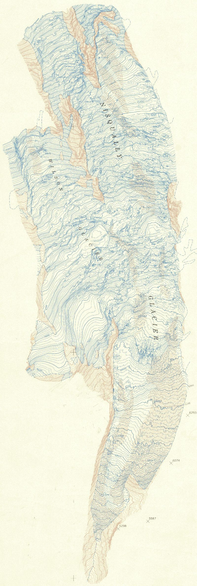 |
1966cropped scan in inches UTM10 NAD27 WGS84 geographic coordinates | 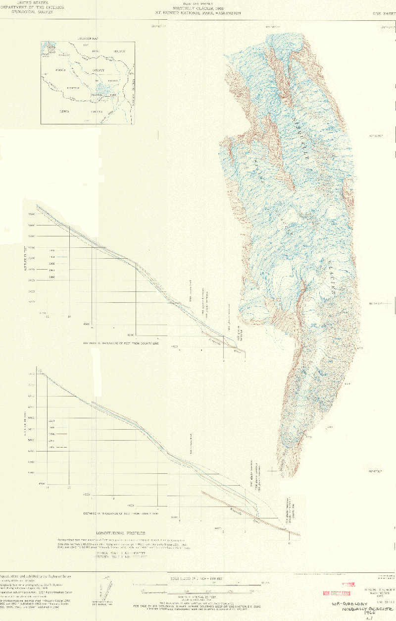 |
1969scan in inches UTM10 NAD27 WGS84 geographic coordinates | 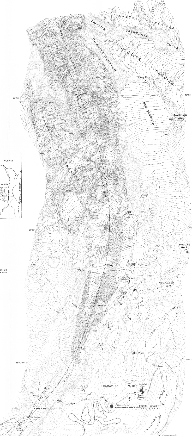 |
1976
1976 special topo map UTM10 NAD27 WGS84 geographic coordinates | 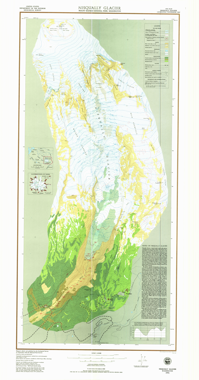 |
1983
Plate 1 of scan in inches
a better scan UTM10 NAD27 WGS84 geographic coordinates | 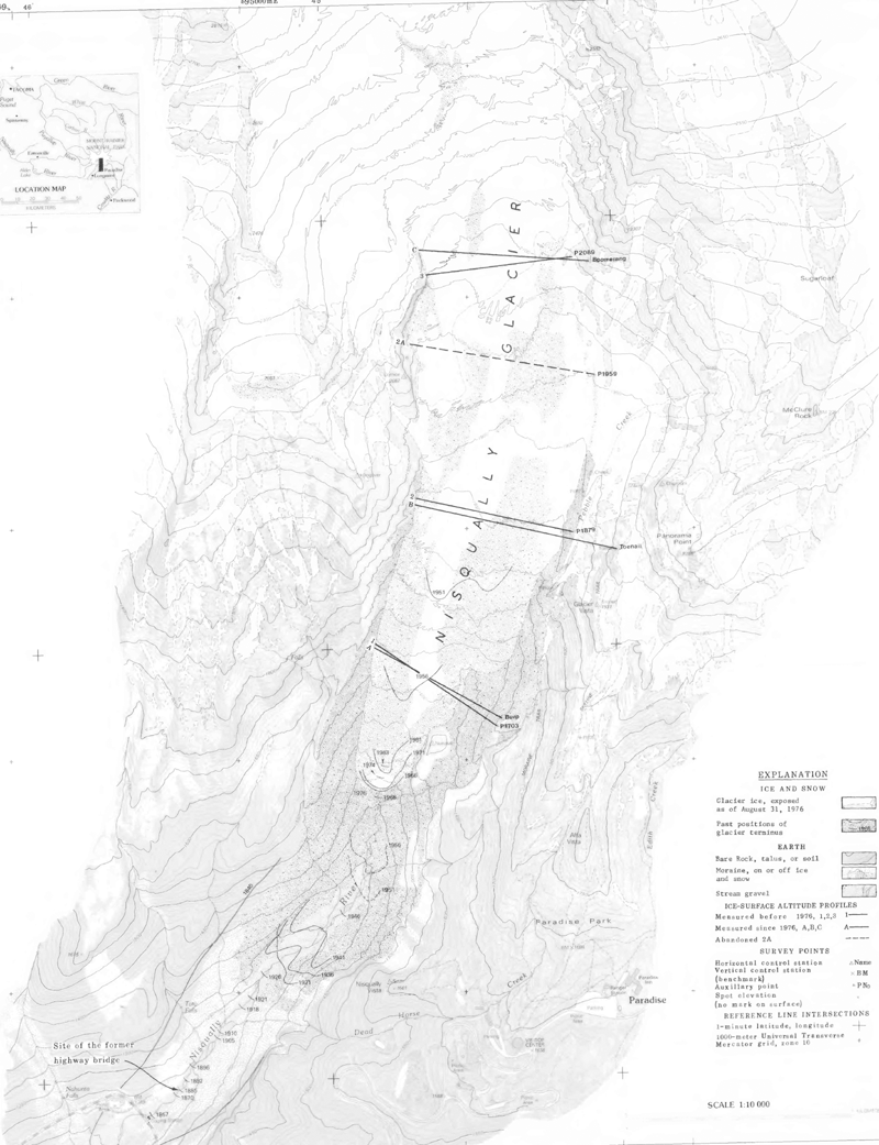 |