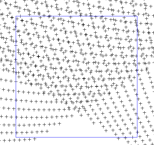
This detail shows two overlapping orbits and a one-degree box.
This detail shows two overlapping
orbits and a one-degree box.
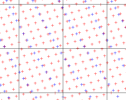
This shows the 2A12 TMI data (blue) and the 2A25 PR
(red) data from the same satellite track. Quarter-degree cells are shown.
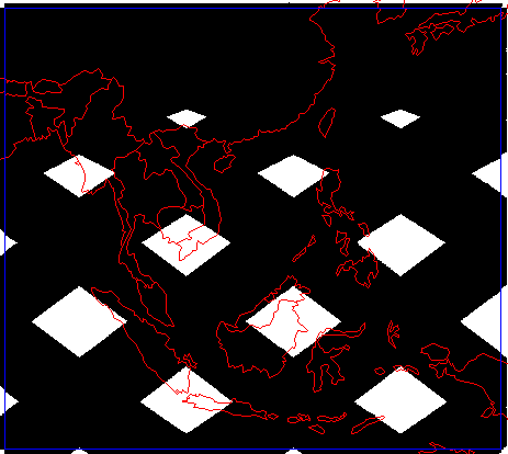
Data is from https://lake.nascom.nasa.gov/data/dataset/TRMM/01_Data_Products/04_Subset/index.html Each orbit is an HDF file of over 12 megabytes. I am happy with the wide swaths. Each quarter-degree cell contains about 27 data points per good orbit. Any area should be covered by about 40 orbits per month. The data can be binned by cell and averaged.
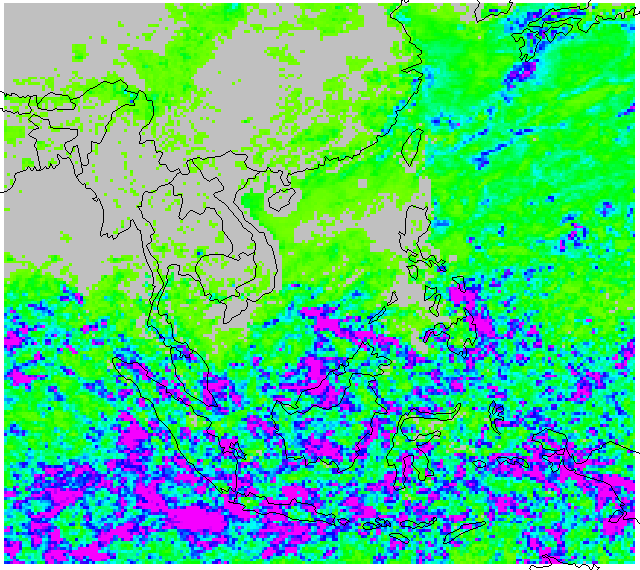
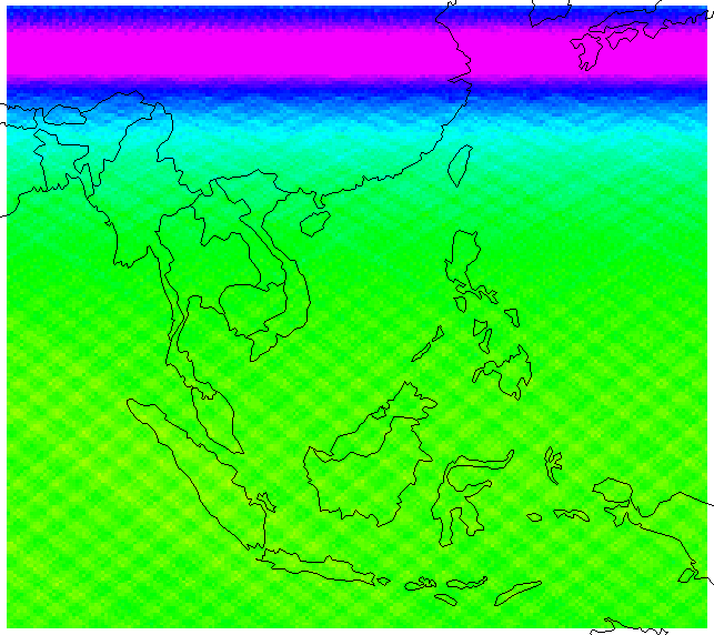
This is rainfall for January, 2001.
Minimum=0, mean=235, maximum=3306. Values are in rainbow scaling from yellow (low)
to magenta (high), but zeros are gray. Some of the zeroes might be a matter of
rounding down. (Data was scaled up by 1000 and rounded to integer.)
This grid was based on 367 satellite tracks, containing 25,932,935 good rain records,
of which 1,698,608 were non-zero.
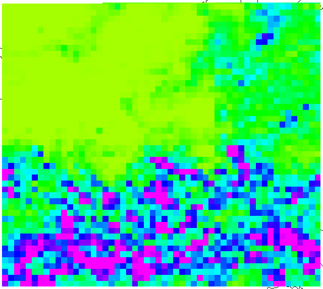
This shows the number of samples per quarter-degree
cell. Minimum=426, mean=625, max=1588. The number of satellite tracks was not
recorded, but the median was problably 40-50 per cell.
Following is a comparison of the 2A12 data to an earlier TRMM data set.
This is the 2A12 rainfall aggregated to one-degree cells.
Compare to :
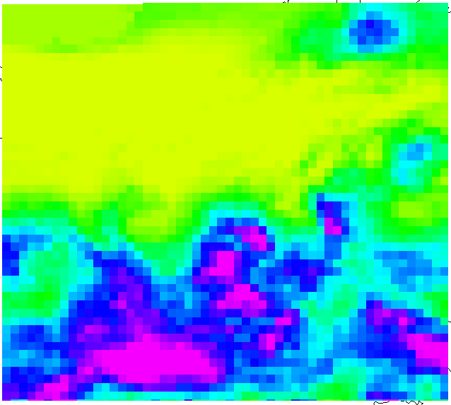
the monthly average of the daily pre-gridded TRMM data.
| Data Set | Min | Mean | Maximum |
|---|---|---|---|
| 2A12 spatially aggregated | 0 | 235 | 1634 |
| pre-gridded temporally aggregated | 0 | 206 | 842 |