The DNR shoreline goes to the vegetation line,
and is not the most appropriate.
20-meter data from Fish and Wildlife
metadata on F&W dataset
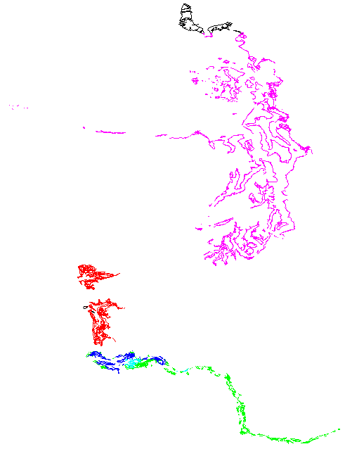
F&W covers:
mfcan DD
mfcoast DD
mfcol_a DD
mfcol_b DD
mfcol_c DD
mfpuget DD
netcovz10 UTM 30' squares
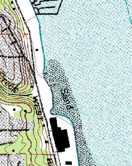
psampshorez10 UTM land polygons : tends to go further up estuaries and
and swamps, and farther out docks than shore_blueutm
willapasand DD
The F&W bathymetry is everything which is not psampshorez10 and not
mudflat/sand. It includes some swamp, which tends to be a depth of 1 decimeter.
sound/README.bathy
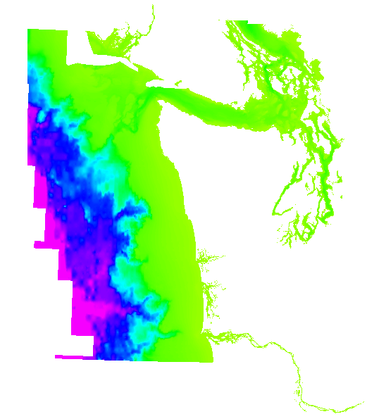
The project of creating an integrated hypsometry/bathymetry data set has
run into some difficulties, requiring us to release an interim product.
An improved product will follow.
We need to
- Replace our shoreline with areas/sound/shore_blueutm and rerun bathymetry.
- Search for more updates to bathymetry.
- Clip the bathymetry to the shoreline.
- Discard the hypsometry between the lowest contour and the shoreline,
and spline in an improved elevation interpolation
- Consider using LIDAR and other improved DEM data.
- Use mapped mudflats to constrain elevations
Sources:
- 10-meter DEMs from USGS: gotem
- digital version of USGS blueline shoreline: got from DOE
- NOAA bathymetric points
- F&W bathymetry: use for filling some holes
- Skagit lowland point data: in mail
- Grids defining areas below lowest 1:24K contour
- Bainbridge LIDAR: have right to use?
- City of Seattle: delay in getting a reply about permission
- Pierce: request is in the mail
- THurston: request is in the mail
-