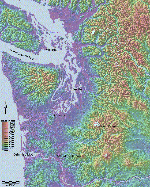
NEW interim integrated elevation and bathymetry for Puget Sound
7.5' quads in compressed ASCII format (Many quads have been superceded by 10-meter DEMs. Even if when you don't need the 10-meter data density, you might prefer resampled 10-meter data, which is incorporated in the mosaicked datasets below. These datasets fill in gaps on quads boundaries, and replace the original data with resampled 10-meter data where available.)
Mosaicked 30-meter data for western (zone 10)
Washington as bil files. (updated December, 2001, with all 10-meter data,
including reprojected parts of zone 11.)
or
Mosaicked 30-meter data for western (zone 10)
Washington as a huge bil file.
It imports to ARC/INFO
as a 200 megabyte grid. Water and no-data areas are coded as zero.
(The file which had been posted as a DEM from 8/13/2000 to 9/8/2000
was actually the image described below.)
3 band image of western (zone 10)
Washington (as seen above) as a huge bil file. This 166778548-byte file unzips to a
1,041,810,660-byte bil file and three little files. It imports to ARC/INFO
as 3 grids that can be viewed with "gridc hsv grid1 grid2 grid3.
(updated 8/2000)
Mosaicked 30-meter data for eastern (zone 11) Washington as a huge e00 file. This 143753249-byte file unzips to 1,441,457,026 bytes. It imports to an ARC/INFO grid of about 122 meg. (updated 2/16/2001)
pre-eruption Saint Helens with 10m data! (2024)
Not Washington: