The Mars Orbiter Laser Altimeter Dataset:
Limitations and Improvements
UW home ESS home Quat. Res. home Astrobiology home Contact

We labored long and hard to improve the Martian DEM based on the MOLA instrument. Now detailed DEMs based on stereo pairs of HiRISE photos are becoming available. Following are initial comparisons of DEMs. With the exception of the 100m THEMIS image, which is the best (almost) planetwide photomosaic, all images below are models of how the digital elevation model (with uniform albedo) would look if illuminated from the northwest.


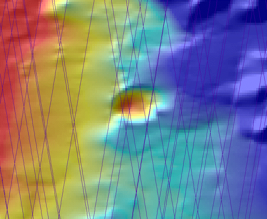
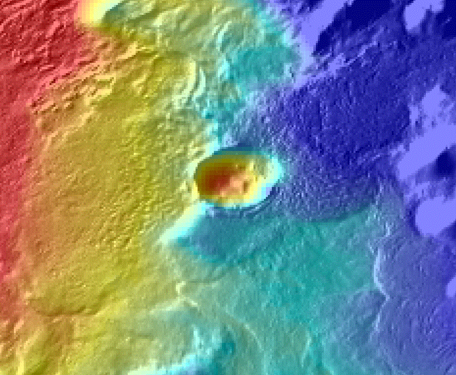
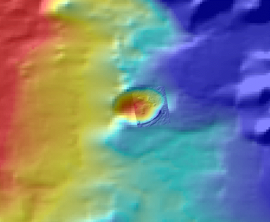
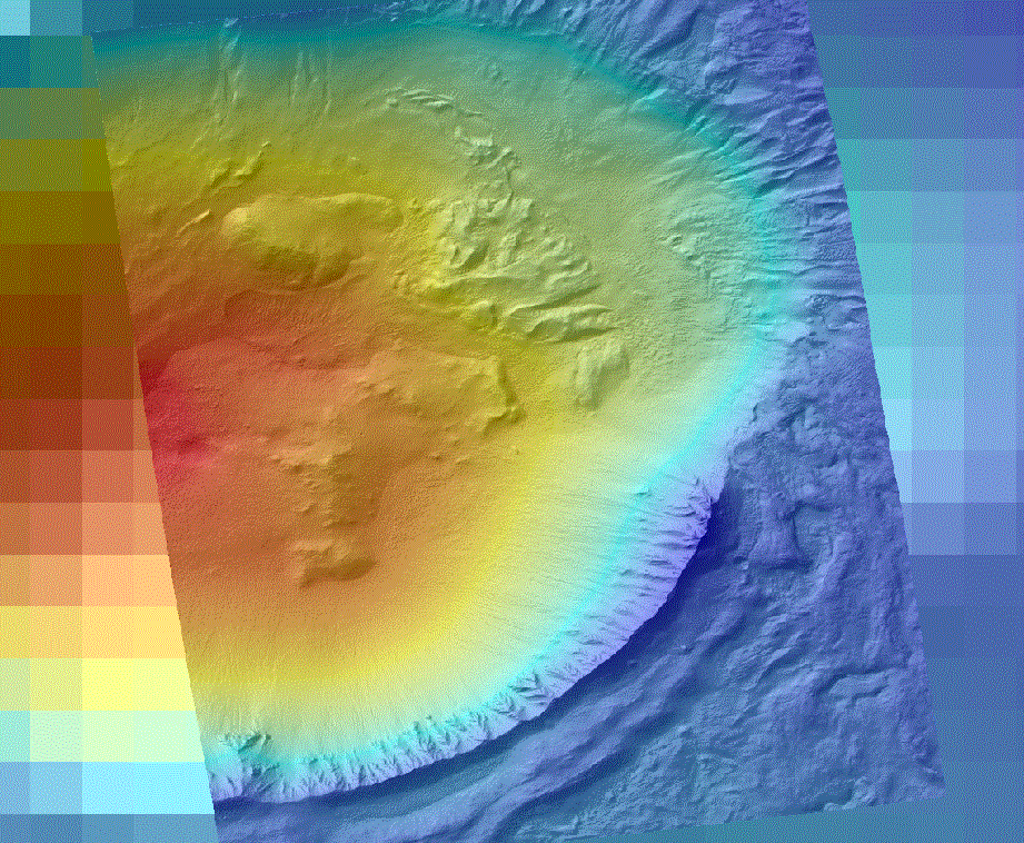
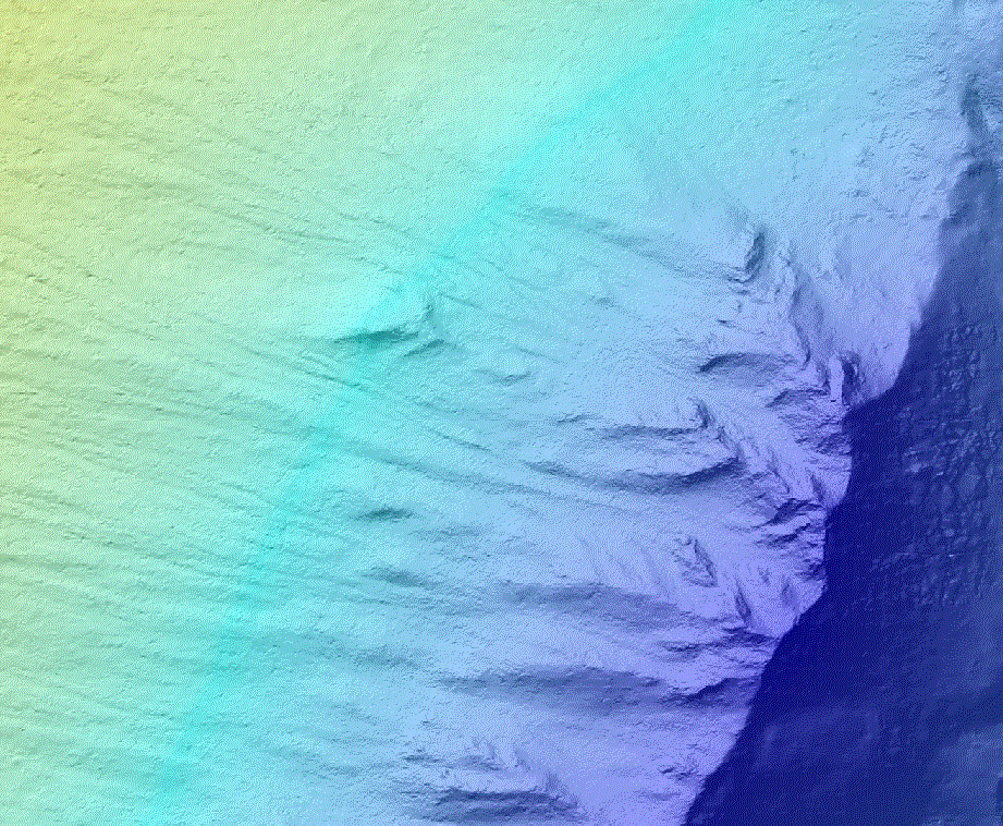
Standard MCUT MOLA DEM


UWMOLA DEM showing orbital tracks of the LiDAR sensor

THEMIS daylight IR mosaic colored according to UWMOLA DEM

HiRISE Gullies DEM laid over UWMOLA DEM

Extent of this HiRISE DEM

Detail of HiRISE DEM