The
Mars Orbiter Laser Altimeter Dataset:
Limitations and Improvements
Limitations and Improvements
| UW home | ESS home | Quat. Res. home | Astrobiology home | Contact |
|
|
The
Mars Orbiter Laser Altimeter Dataset:
Limitations and Improvements
|
| Abstract |
|
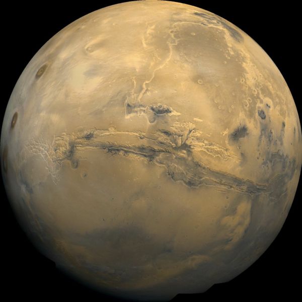
| The Mars Orbiter Laser Altimeter, part of the instrument suite onboard the Mars Global Surveyor spacecraft (MGS), mapped Martian topography between 1999 and 2001. The latest sub-polar dataset, released in 2003, is a 128 pixel per degree digital elevation model (DEM) of the planet, from –87o to +87o. Due to the orbital characteristics of MGS, the resolution is latitude-dependent, being highest near the poles. We find that only a third of the DEM elevation information at the equator comes from raw measurements, the rest being interpolated. Without questioning the enormous scientific value of this dataset, we investigate its limitations. We find that interpolation, especially at the equator, leads to topographical artifacts and smoothing of the terrain that should be appreciated in interpreting geomorphological features that have length scales on the order of the spacing between the orbital tracks that overlap the terrain of interest. We also re-interpolate the dataset using a natural-neighbor with bias scheme that is shown to reduce interpolation-induced errors, particularly for small-scale, East-West trending geomorphic features. |
|
|
*** Go To Improved DEM *** |
|
| Citation | |
Som S., Greenberg H., Montgomery D. " Limitations of the Mars Orbiter Laser Altimeter Dataset: Implications and Improvements". The International Journal of Mars Science and Exploration. (4) 14-26, 2008 doi:10.1555/mars.2008.0002 | |
| |
|
|
|
| ©2008 Department of Earth and Space Sciences | UW home • ESS home • QR home• AB home • Contact |