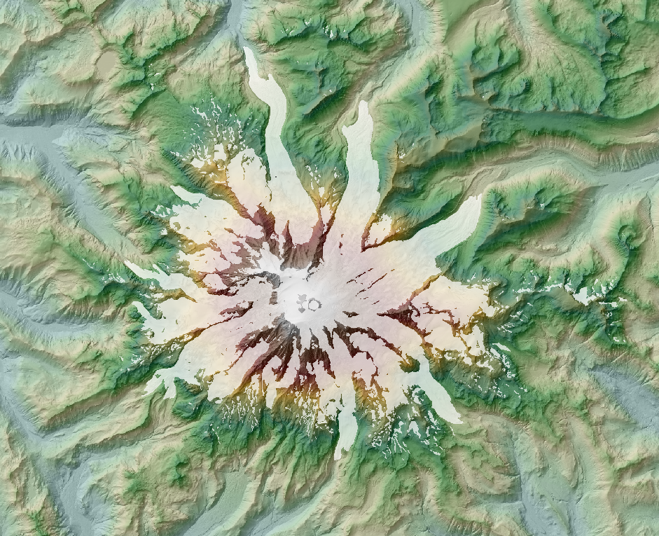
This page is being put together for an education project on the Nisqually Glacier,
sponsored by the National Park Service,
centering on
an 11-minute video, ( alternate download)
This page is perhaps the best source of historic topo maps for the Nisqually Glacier.
It also contains more reference materials for the video, which wemay eventually expand.
Data for the animation:
Time series
Time series of 3D shapefiles of glacier profiles A, B, and C. (UTM10 NAD27)
Time series of glacier terminus (UTM10 NAD27) (need to bring to GIS)
The 2008 lidar survey at one-meter postings. (UTM10 NAD83)
DEM as filegeodatabase
Shaded relief as filegeodatabase
The 10-meter DEM from the 40-foot contours on the 1:24K quads built from 1970 photos.
DEM (UTM10 NAD27)
Shaded relief
50-meter contours based on this DEM. (UTM10 NAD27)
Standard USGS 1:24K topo maps. From 1970 photos. clipped (UTM10 NAD27)
o46121g6.tif Mount Rainier East
o46121g6.tif Mount Rainier West
Glacier topo maps
Special glacier topo sheet from of83-0541 manually registered
Glacier topo sheet from pp0631 manually registered (based on 1956 USGS topo)
Five NAD27 benchmarks from of83-0541
Photos. NAIP for Washington can be accessed as described at https://guides.lib.uw.edu/c.php?g=341497&p=2299097
Nationwide NAIP be accessed as the GIS service https://gis.apfo.usda.gov/arcgis/rest/services/NAIP
as described at https://www.fsa.usda.gov/programs-and-services/aerial-photography/imagery-programs/naip-imagery/