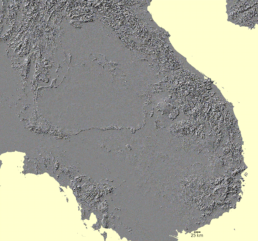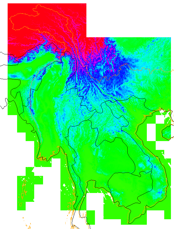
This is the piece that we are using for the Mekong. First the one-degree tiles (You can see square holes where no tiles were produced for the ocean.) were assembled into 10-degree blocks, and the small voids (Large voids are ocean.) were filled. Parts of six big blocks (The NE and SW blocks were not needed.) were assembled to cover the Mekong Basin. Problems with voids at the junction of tile boundaries were fixed. You see that there are surface elevations for much of the ocean. The come mostly from the raw SRTM files, though more ocean elevations were added by the void-filling algorithm. A good shoreline cannot be derived from the DEM. We tried filling sinks and running hydrological analysis, but ran into problems where 30" data was used to fill voids in the Three Gorges area. We hope to fix this problem soon. The DEM has 693380352 cells, so operations that require intermediate files or arrays of 4 bytes/cell will exceed the two-gigabyte limit and fail.