
40-meter DEM after repairs.

A detailed view shows nice textures but several flaws.
relief
There is some confusion over what is meant by radius-based relief.
The way Harvey originally calculated it, a circle was constructed
at each landscape point. The relief was taken a the difference
between the highest and lowest points in that circle. An alternative
method would be to take the larger of
- The center point minus the lowest point in the radius, or
- The highest elevation in the radius, minus the center point.
The differences are significant, as shown below:

| 
| 
|
| Old method (5-km radius)
| Center-based (10-km radius)
| Center-based (5-km radius)
|

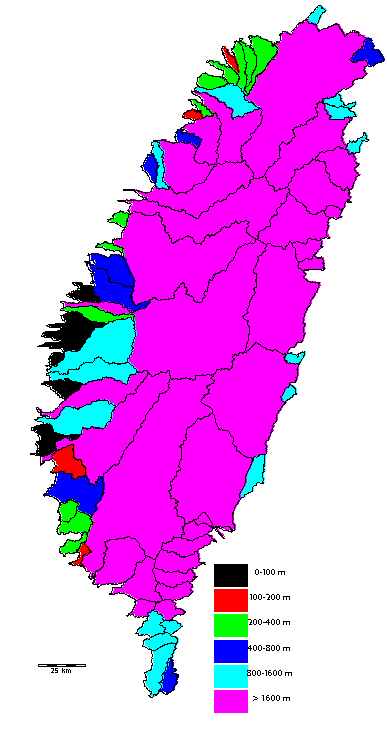
And here is relief by basin. (All basins < 40 sq km are excluded)