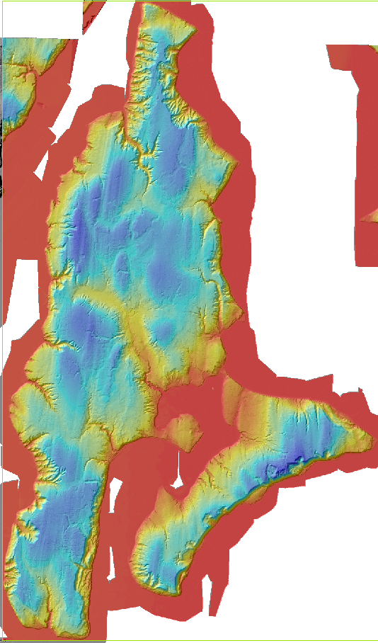
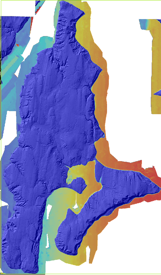
This is the Vashon LiDAR DEM from the 2002 vjtmp (Vashon, Jefferson, Thurston, Mason, Pierce) survey, as posted on pugetsoundlidar.ess.washington.edu These files were prepared with ArcMap GIS software.
Data is rasterized to 6-foot resolution in the State Plane North (NAD83HARN) coordinate system.
| | |
| On the left you see hypsometric colors over shaded relief (modeling how the surface would look when lit from the northwest.) | On the right you see that lidar captures the water surface, showing how the tide changed from one flightline to the next. |
The second image is 32-bit floating point. Some software will have trouble with it. GIS sotware can import these files, and can superimpose them on other map data in any coordinate system.
 ---------------------------------------------------------------------------------------------