 |
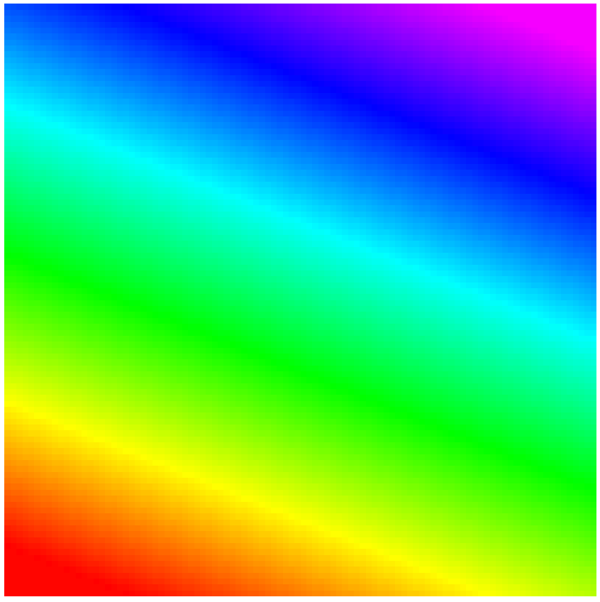
Here is a hypothetical planar hillslope. Elevation is coded by color.
The top is at the upper right.
So which way does the water flow? |
 |
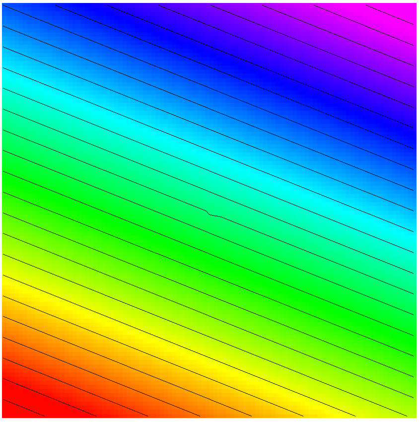
The eight-pointer method (implemented as "flowdirection" in ESRI's
ArcMap) has all water flowing to one of eight neighbor cells,
so all the water flows southward, as shown by the arrows.
(Note that flowdirection was calculated here with default settings,
which cause the water to hug the edge of the DEM before flowing off.)
|
 |
Here I have added 3 pebbles to the hillside. The change is too subtle
to be seen in color coding, but it is shown by the small
jog in the center contour line. |
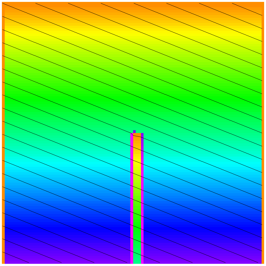 |
Water flows around the pebbles, then it flows straight down hill.
Flow accumulation (contributing area) is coded by color.
The eight-pointer model produces a poor representation of overland flow
(and much less groundwater flow) in the physical world.
|