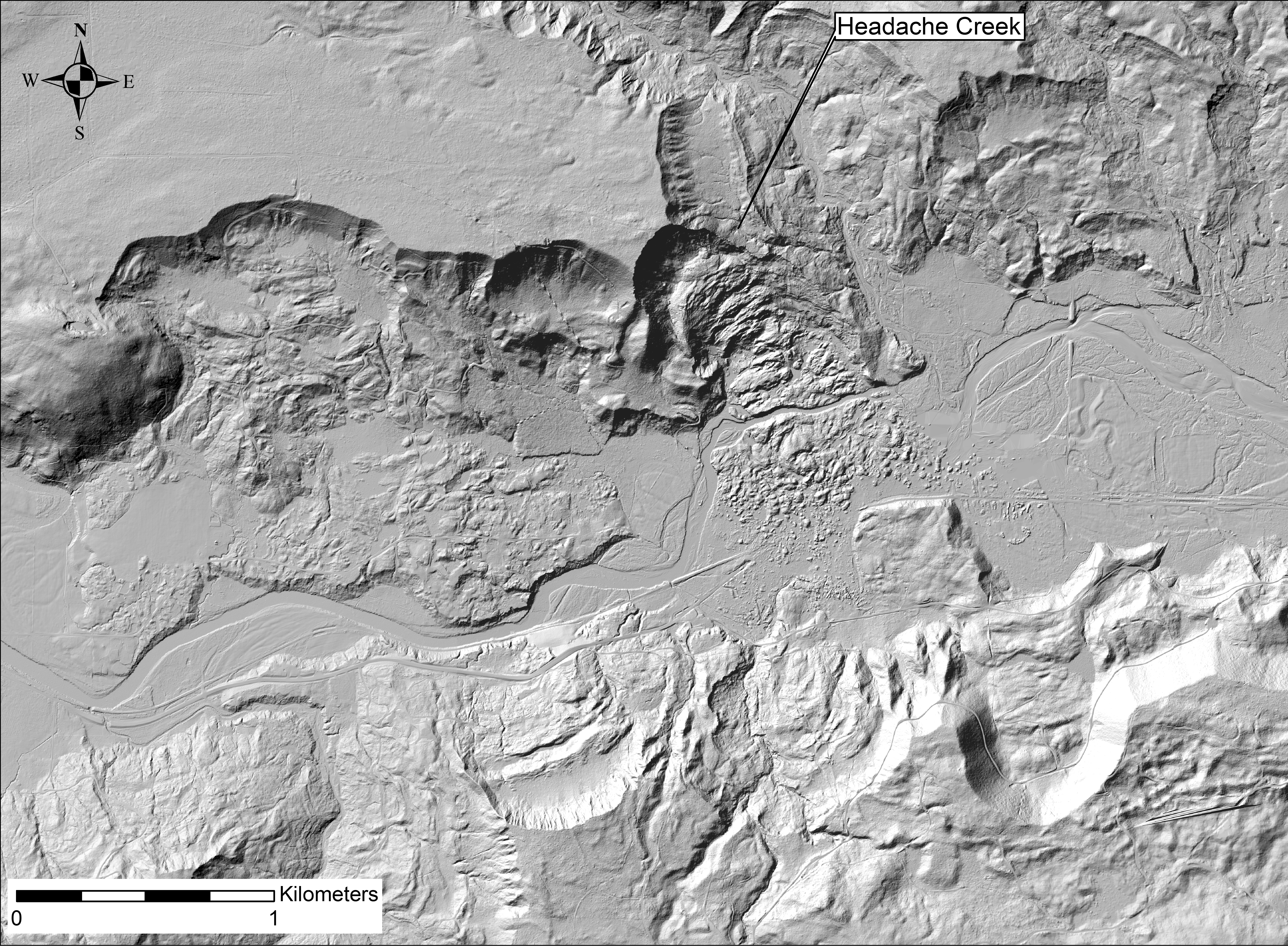
In addition to LiDAR-only maps, here are more images that show beneath
the waters that were temporarily damned behind the 2014 landslide.
They were created in 2014, but were (sorry) not posted to the web until 2023.
Click on a image to download a large file.


download 12M
Note: The C-Post bridge east of the landslide was not damaged. We see a gap
because LiDAR shows the lowest surface beneath the bridge.
Images by Harvey Greenberg
Department of Earth & Space Sciences
University of Washington
Data from
Washington Department of Transportation
Tulalip Tribes (2013)
NASA (2003)
through the
Puget Sound LiDAR Consortium
2014