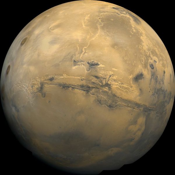
Limitations of the Mars
Orbiter Laser Altimeter Dataset: Implications and Improvements
| UW home | ESS home | Quat. Res. home | Astrobiology home | Contact |
| |
Limitations of the Mars
Orbiter Laser Altimeter Dataset: Implications and Improvements
|
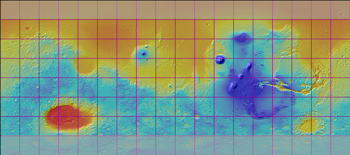
| DEM_source |
|
|
|
|
|
|
|
| Citation | |
Som S., Greenberg H., Montgomery D. "Limitations of the Mars Orbiter Laser Altimeter Dataset: Implications and Improvements". International Journal of Mars Science and Exploration. In press, 2007. |
|
| Current Progress | |
| All of the planet from 60 degrees S to 60 N has been processed, but a third of all tiles failed visual inspection because uncalibrated points found their way into the input stream. We could manually pick more orbits to expand the badorbits and verybadorbits lists, but we are distracted by more elaborate schemes to filter the input points. All of the approved tiles are ready for downloading. The first data available will be a combination of version 1.0 and version 1.02 processing. The difference involves the algorithm by which suspect points are restored to consideration if they are far from more reliable points. Versions 1.03 and 1.04 are essentially the same, but they check for a local verybadorbits and badorbits list. The arrival of HiRISE DEMs interests us. |
|
|
|
|
| |
|
|
|
| ©2006 Department of Earth and Space Sciences | UW home • ESS home • QR home• AB home • Contact |