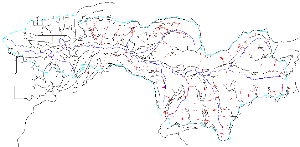
Matheny Creek and landslide field data
Matheny Creek is a tributary of the Queets River. The map below shows
that we have been given detailed files of roads and landslides.
We are pursuing the
investigation, begun on the Chehalis_River of the relationship of
roadbuilding and slope failure. The slide coverage shown includes runout paths as polygons,
so we have asked for a file which would differeniate locations of failure initiation. Rivers are
from the USGS 1:100,000 maps.
We have assembled a 30-meter digital elevation model, and are starting to investigate
algorithms for calculating valley width.
Access for Local Users