tile
| filename | date | bytes | what |
|---|---|---|---|
| lat-48_lon20shots.zip | Oct 24 18:25 | 4119410 | ASCII dump of all shots from PEDR files in 4.5°×4.5° square |
| lat-48_lon20dem.zip | Oct 24 18:25 | 322793 | DEM as a .bil file |
| lat-48_lon20dfo.zip | Oct 24 18:25 | 1687000 | All the shots that were used to make the DEM (with false origin) |
| lat-48_lon20gens.zip | Oct 24 18:25 | 1327893 | ASCII ARC/INFO .gen files of tracks |
| NASA PDS MCUT DEM | THEMIS daytime IR image |
|---|
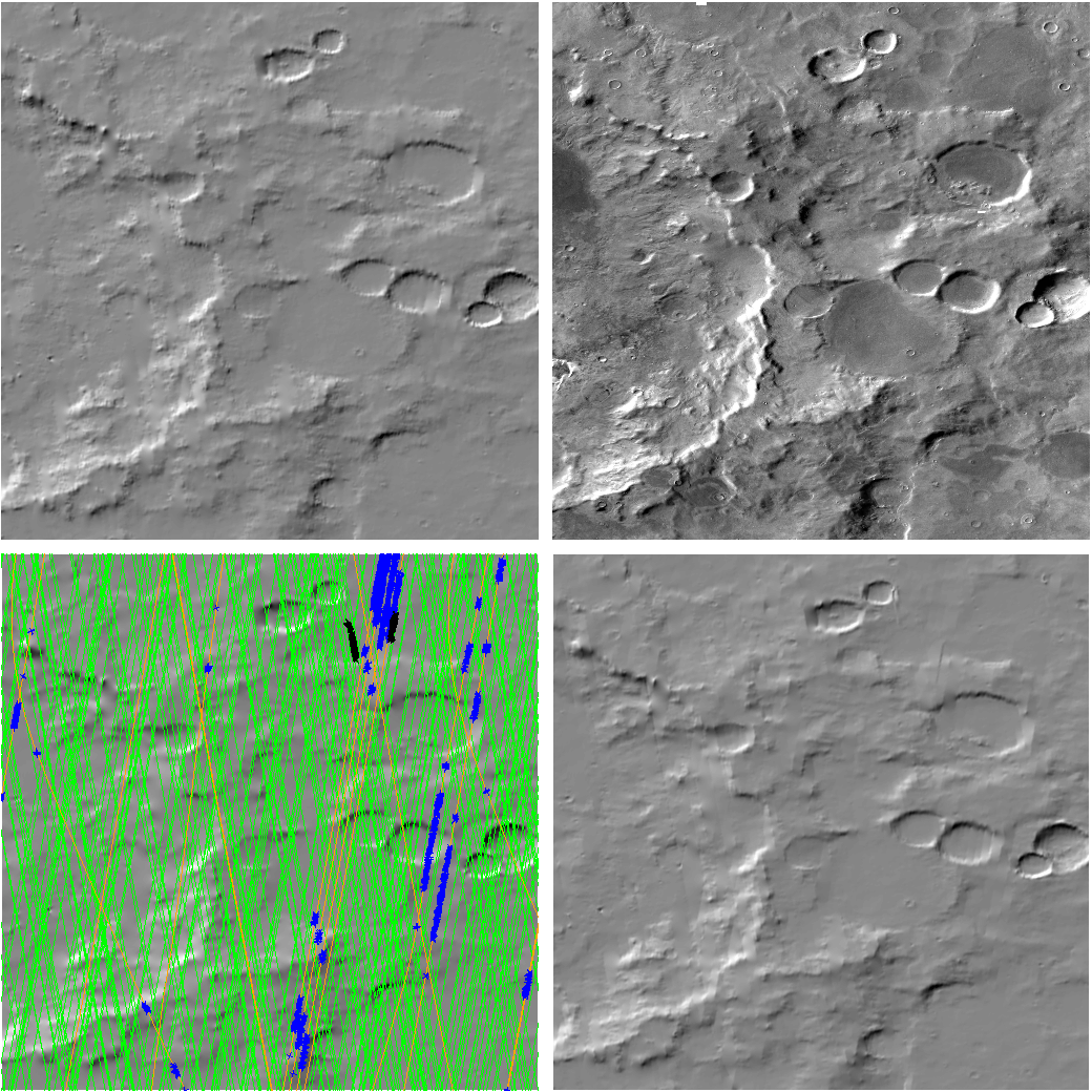
| UWMOLA draft DEM |
|---|
|
green lines: good orbits orange lines: bad orbits red thick lines: very bad orbits blue points: salvaged points from bad orbits black points: rejected points in good orbits |
molasort.py version 1.0 was used with thresh of .03
| Send comments to Harvey Greenberg or Sanjoy Som |
|
UWMOLA Home | ||
|
|
next tile |
| Top Download Level | |
|
| Up to 20° by 20° Block |