| NASA PDS MCUT DEM | THEMIS daytime IR image |
|---|
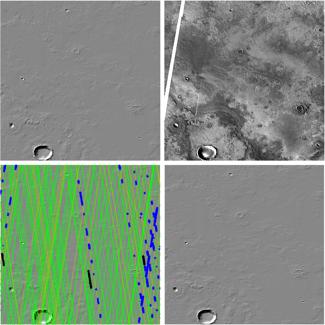
| UWMOLA draft DEM |
|---|
|
green lines: good orbits orange lines: bad orbits red thick lines: very bad orbits blue points: salvaged points from bad orbits black points: rejected points in good orbits |
good.dfo, etc. created by molasort.py version 1.03 with thresh of 0.030000
| Send comments to Harvey Greenberg or Sanjoy Som |
|
UWMOLA Home | ||
|
|
next tile |
| Top Download Level | |
|
| Up to 20° by 20° Block |